 Back to the
temporary files index.
Back to the
temporary files index.
 Back to Clive's
home page.
Back to Clive's
home page.
This is a map of my house and the immediate surrounding area. There's also a photo taken from the house opposite (warning: 250kb).
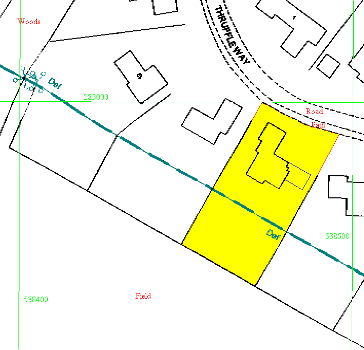
Not shown on the map is the boundary fence for the paddock. The first 60 metres of the field south of the property is now (since October 1999) fenced off and is owned communally by the owners of the houses on this side of the street.
Back to the
temporary files index.
Back to Clive's
home page.